A Day Hike to Rtanj
This mountain pyramid has long been revered by those living in its shadow, primarily due to its unique shape. Today, it is a paradise for nature enthusiasts and hikers.
“No mountain or peak in Serbia leaves as deep an impression on the observer as Rtanj with its Šiljak. It embodies calmness, grandeur, and symmetry. Its massive main ridge, 5.6 km in length, rises calmly from a wide base, colossal, and ends with an almost perfect dome at the summit of Šiljak… There is something individual and imposing about it, as with great personalities.” – Jovan Cvijić
Mount Rtanj
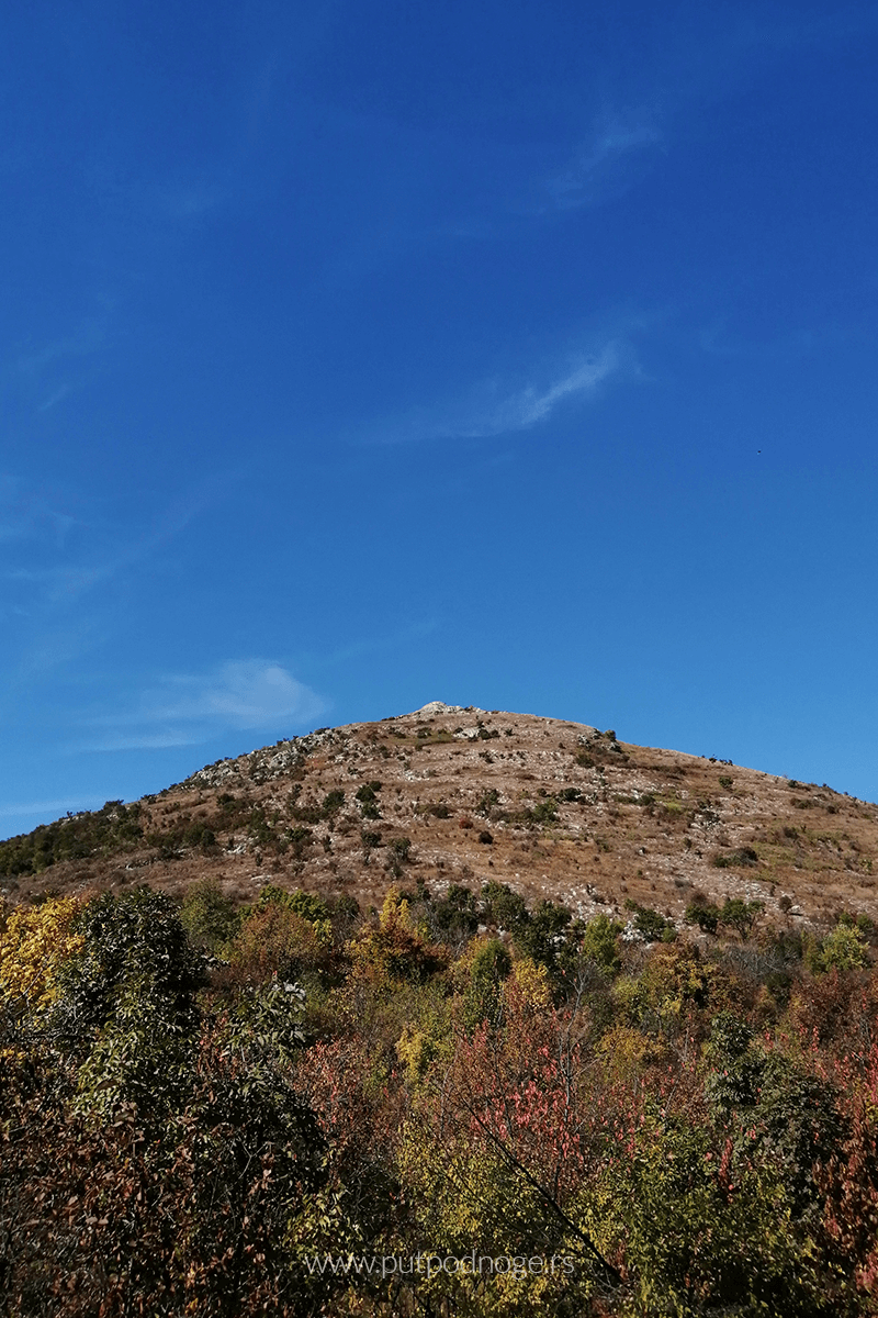
Rtanj is a mountain in eastern Serbia and a true natural phenomenon. It is a limestone massif of the Carpatho-Balkan Mountain system, situated between Paraćin and Zaječar, and bordered to the east by the Crni Timok River and the Boljevac-Rujište line.
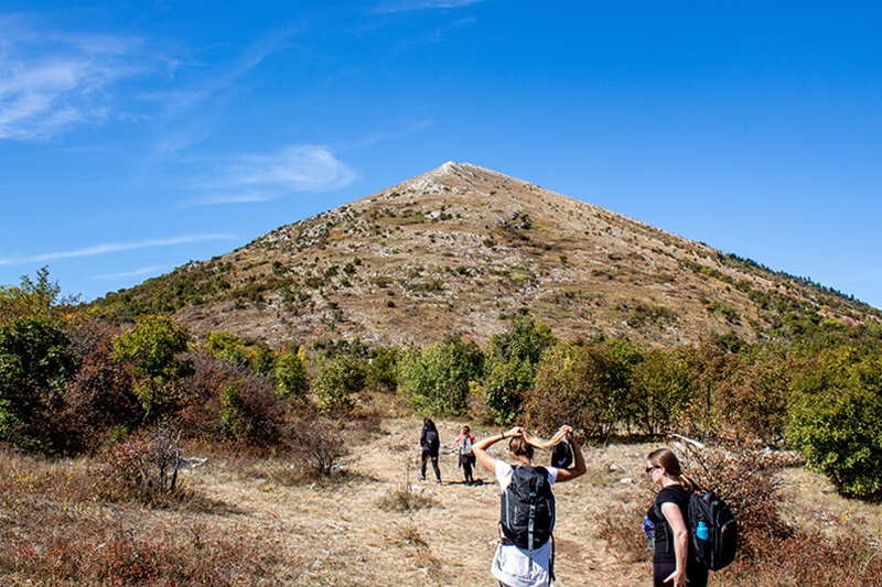
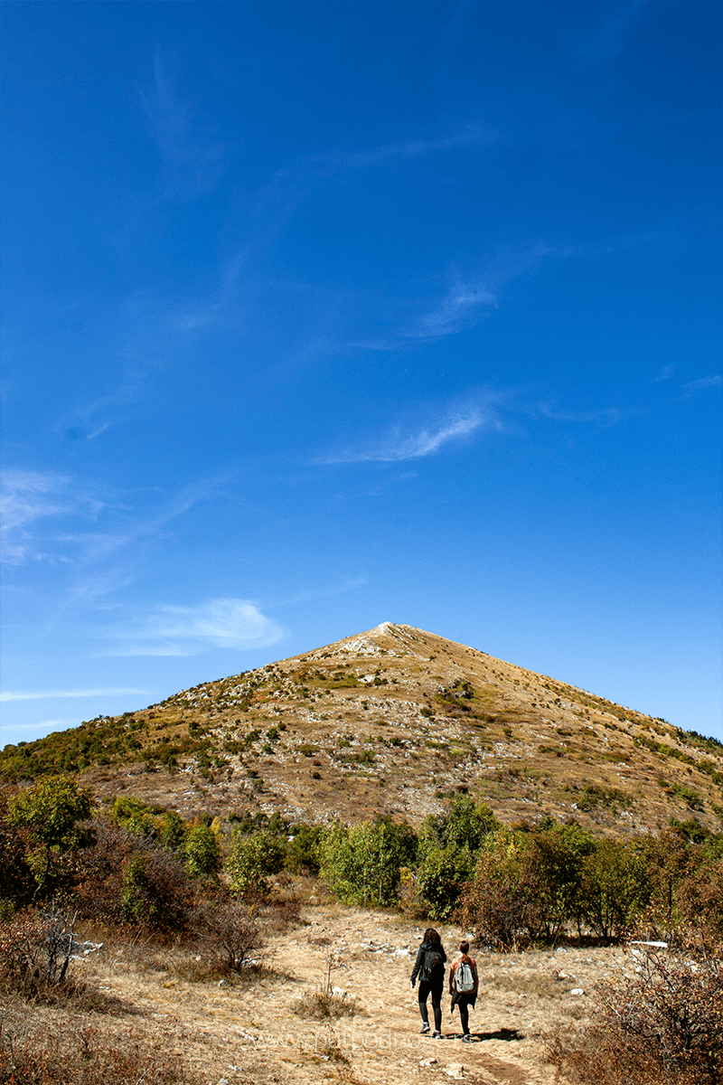
This mountain abruptly rises from the plains, culminating in an almost perfectly symmetrical, three-sided limestone pyramid, making it a unique natural formation. The highest point of Rtanj is the peak named Šiljak, standing at 1,561 meters above sea level.

The Ascent to Rtanj
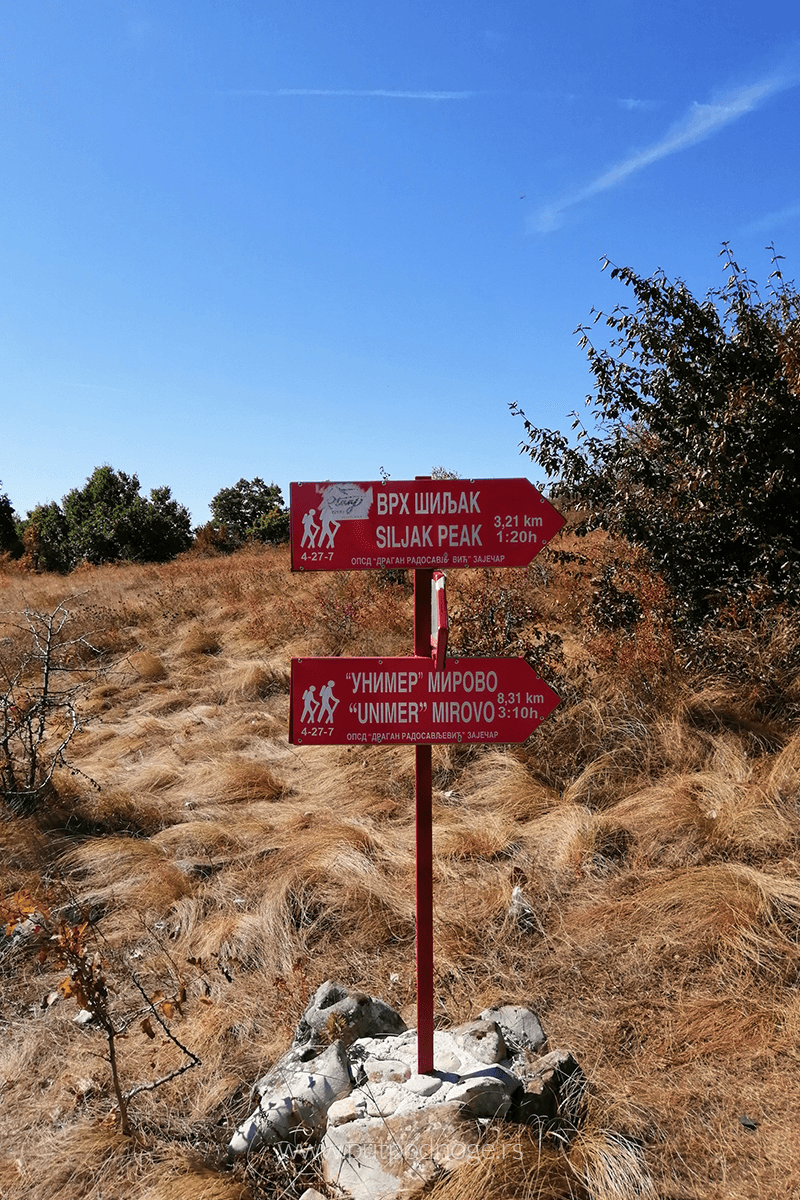
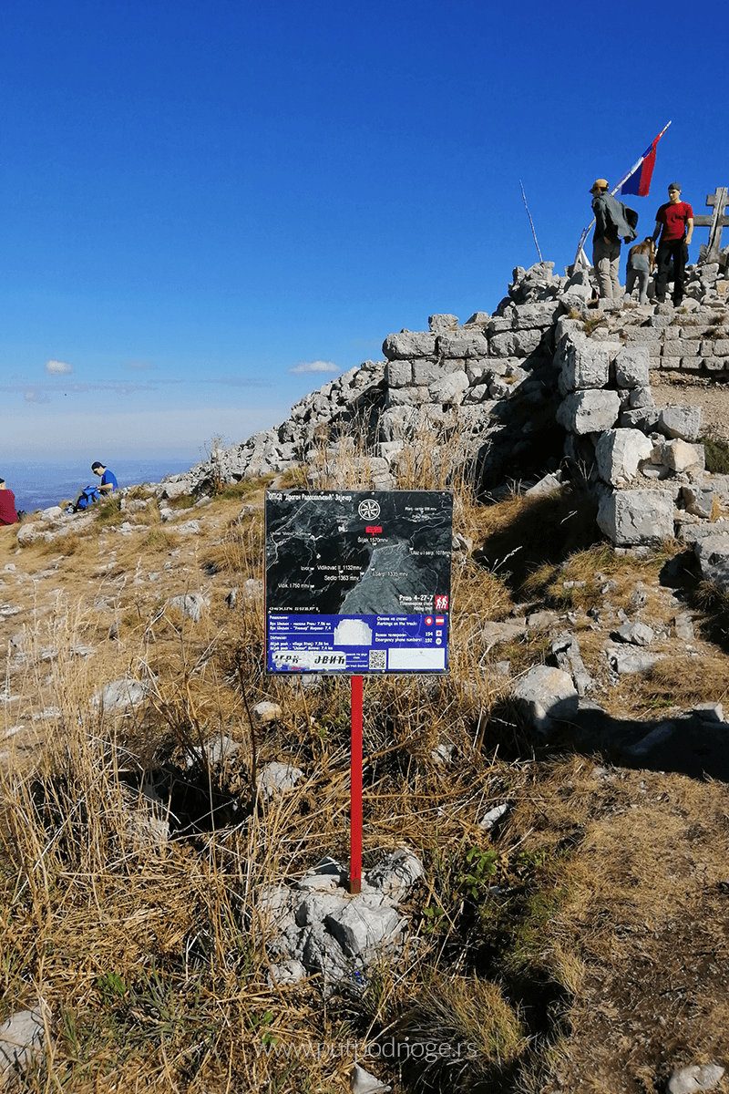
Several trails lead to the peak, with an average elevation gain of about 1,000 meters. This time, we chose the trail starting from the village of Rtanj.
The ascent along the northern side takes you through a dense deciduous forest for the first third of the hike, leading to a plateau with low shrubs. From here, there is a clear view of the peak and the climb ahead.
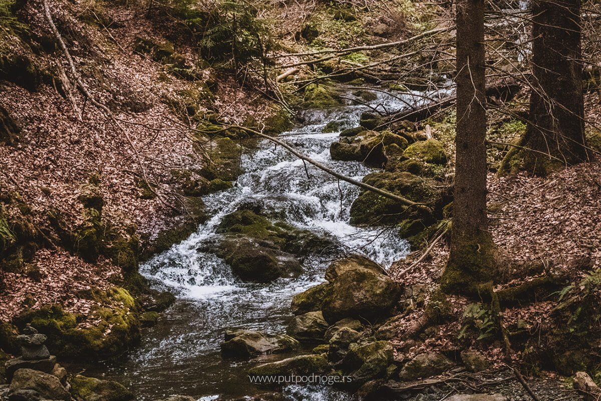
Looking at the steep edges of the mountain, only sparse shrubs and rocks can be seen. There are no water sources along the trail, something guides are quick to remind you as “the mountain tests everyone’s thirst.” This is because the summit consists of limestone rocks, causing all the water to flow into the base and emerge as strong springs.
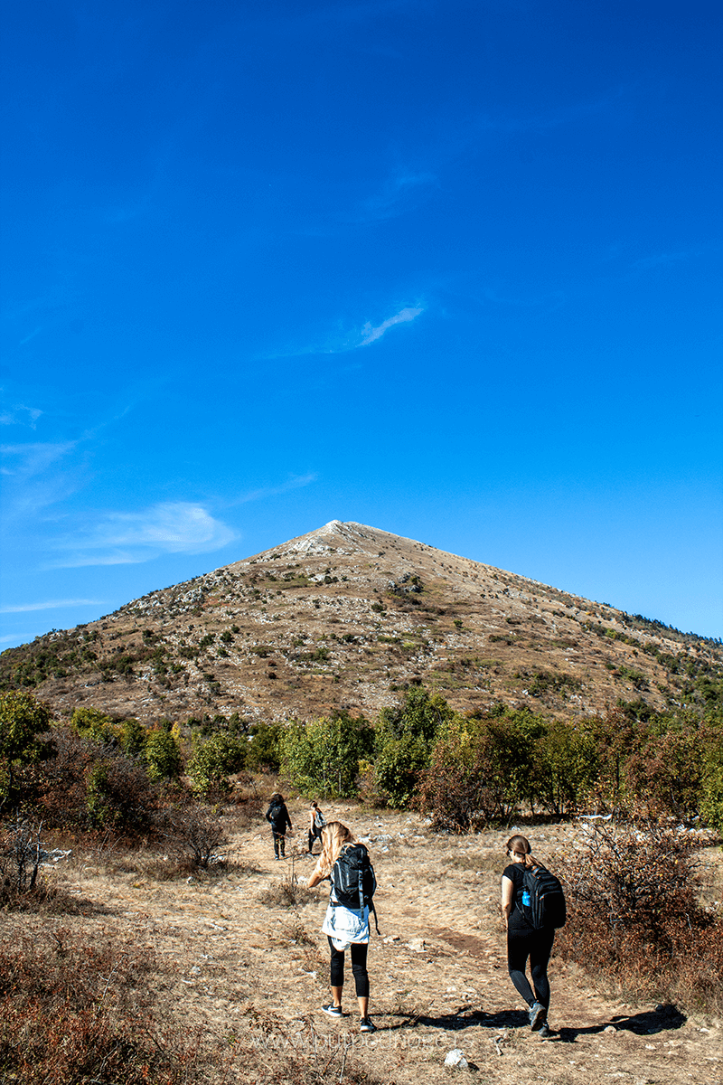
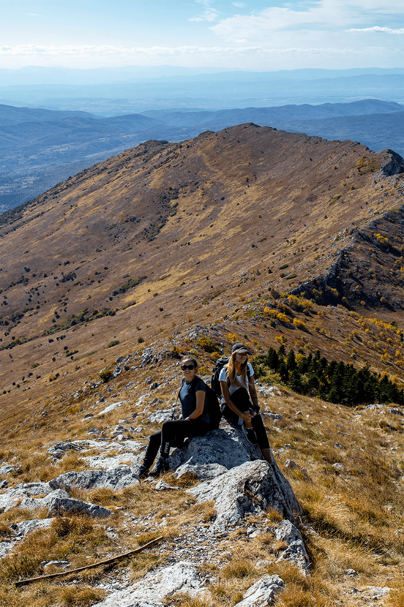
Although Rtanj has a wide base, it narrows near the top, forming a thin ridge that culminates at the eastern end with the Šiljak peak. When viewed from the base, the peak appears as an almost ideal three-sided pyramid.
Opposite Šiljak, on the other side of the limestone ridge, is the Kusak peak at 1,380 meters above sea level. Between these two peaks, roughly in the middle of the ridge, is Preslo at 1,405 meters. Traversing the entire ridge of Rtanj is even more spectacular than just climbing Šiljak. From Preslo, there is the best view of the pyramidal Šiljak.
The View from Rtanj and the Chapel
At the summit are the remains of a chapel built by Greta Minh in honor of her husband, Julius Minh (some sources claim she was Julius Minh’s mother, leading to two versions of the story). Julius was the former owner of the “Rtanj” coal mine. The chapel was dynamited in the 1930s during a gold hunt, as many believed treasure was hidden there. Today, only ruins remain.
This family was closely connected to the mountain. The village at the base was founded in 1902 by Samuilo Minh, the owner of a textile factory in Paraćin, who opened a coal mine here. The family business was inherited by his son Julius, who later committed suicide. The two stories diverge regarding Greta Minh’s identity and whether the chapel was built in memory of her husband or son. The family significantly contributed to the village, ensuring that miners and their families had everything they needed for daily life.
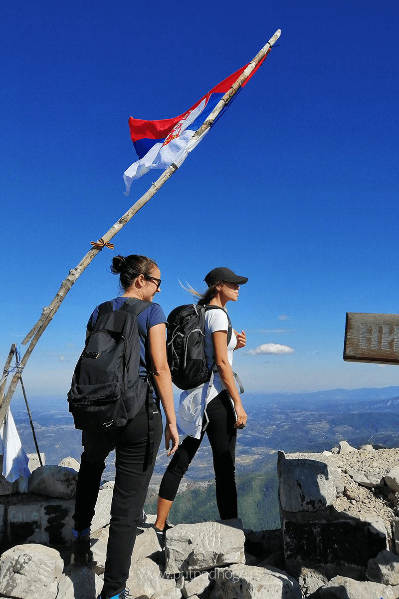
The view from Šiljak is breathtaking. On one side, you can see Malinik, Lazar’s Canyon, Borski Stol, Deli Jovan, Majdanpek, and Bor. On the other side, there’s Suva Planina, Stara Planina, Ozren, and Sokobanja.
A Well-Deserved Rest with Rtanj Tea
After enjoying the summit views and recharging, the descent was surprisingly quick. In no time, we found ourselves in the yard of a local host at the foot of the mountain, greeted with homemade blueberry juice.
In addition to the juice, you can try Rtanj tea, one of the mountain’s symbols. This endemic species, Saturea montana, is known for its remarkable medicinal properties.
We left Rtanj as the sun set.
A Day Hike on Rtanj: Practical Details
Route: Northern slope
Distance: Approximately 15 km
Highest Point: 1,561 m
Elevation Gain/Loss: +956 m, -956 m
Technical Difficulty: 4/10
Hiking Style: Independently or with a guide
How to get there?
At the foot of the mountain lies the village of Rtanj, about 200 km from Belgrade. The quickest route is via the Belgrade-Niš highway, exiting near Paraćin toward Boljevac and Zaječar. Just before Boljevac, there is a turnoff for the village of Rtanj.

Leave a Reply